Colorado decided your population wasn't the state's business
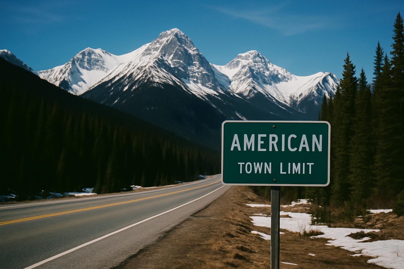
Drive into a town in Colorado and the sign will tell you that you're at 9,600 feet. It will not tell you how many people live there.
That's not a quirk of one county's sign shop. It's the state standard, written down. Colorado's traffic sign guide lists the layout as D50-3, and the specification is about as plain as it gets: town name, CITY LIMIT, ELEVATION, number.
The reasoning is colder than you'd expect
Colorado's traffic control manual works from a principle that shows up in sign engineering everywhere: give the driver only as much information as is necessary for the safe and efficient operation of the road.
Applied honestly, that principle has a sharp edge. The manual puts population figures, along with a community's self-described qualities, in the category of information unrelated to traffic operation, navigation, or transportation.
Which is a very dry way of saying: nobody drives differently because a town has 4,200 people in it. It's a fact about the town, not a fact about the road. And a sign is for the road.
Elevation survives that test. At 10,000 feet your engine makes less power, your brakes fade faster on the way down, and the weather does things it does not do at sea level. Elevation is a driving condition. Population is trivia.
They worked this out a long time ago
The practice isn't new. It shows up in Colorado newspapers by the early 1960s, already normal enough to be photographed without comment.
Which makes the rest of the country's timeline a little funny. We wrote a while back about state DOTs finally dropping population from city limit signs ahead of the 11th edition of the federal manual, largely because updating every sign after every Census got too expensive to justify.
Colorado got to the same destination sixty years earlier, by a different road, and for a better reason. Not "this costs too much to keep accurate," but "this was never the sign's job."
The mountain towns turned it into bragging rights
Here's what the engineering rationale misses. In Colorado the elevation number is not neutral information. It's a scoreboard.
Leadville is over 10,000 feet and will make sure you know it. Every ski town, every old mining camp hanging onto a mountainside, treats that figure the way a Midwestern town treats its population sign. It's the number that says what kind of place this is and what it takes to live here.
A town of 800 people at 9,000 feet is telling you something real about winters, about the drive out, about who stays. That number carries more than a population count ever did.
Two ways to be from somewhere
So there are basically two dialects of hometown sign in this country.
Most of America got the population version, which says this is how many of us there are. It's a sign about the people. The Mountain West got the elevation version, which says this is where we are. It's a sign about the place.
Both are a town telling you its one fact. Both are getting standardized and stripped down over time, for reasons that make complete sense on a spreadsheet.
And in both cases the number was never really for the driver. It was for the people who live there, and for whoever grew up there and moved away and still slows down a little coming back into town.