The longest drive between two town signs in the lower 48
The average American town has another town 5.8 miles down the road.
We know because we just measured it. We put Census coordinates on all 19,413 towns in our catalog and calculated the distance from each one to its nearest neighbor. Nationally the median gap is under six miles. Most of this country is closer together than it feels.
Then there's Ely, Nevada.
110 miles to the next sign
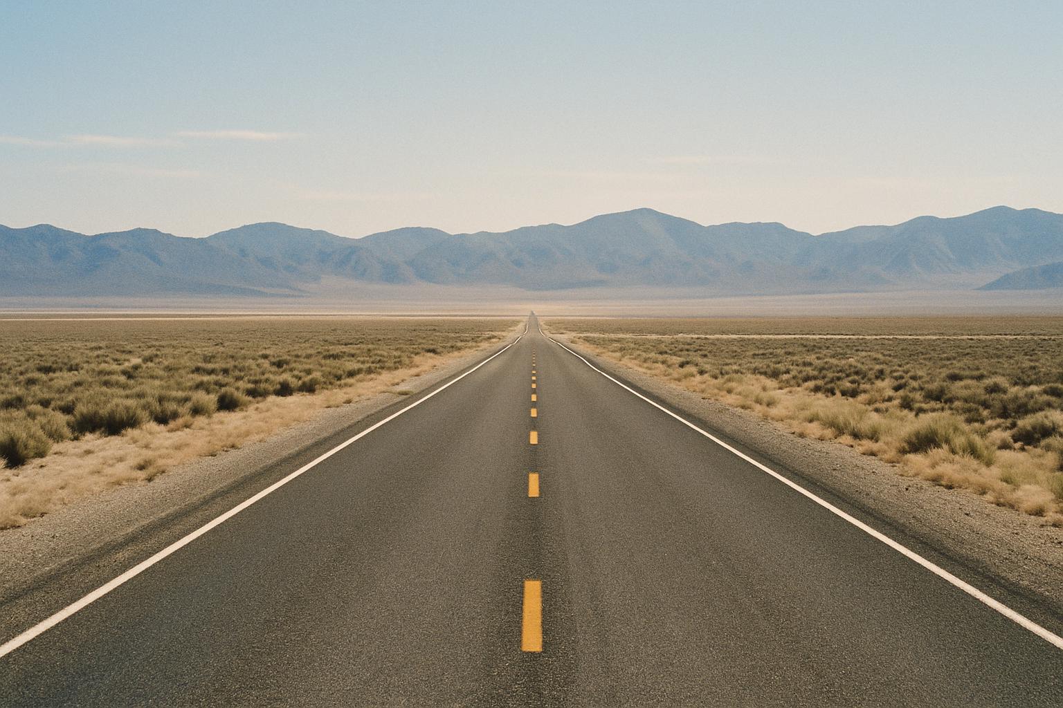
Ely has about 4,000 people and sits on US 50 in the eastern Nevada desert. The nearest incorporated town is West Wendover, 110 miles away.
That is the longest gap between two town signs in the lower 48. Leave Ely heading north and you will drive nearly two hours before another green rectangle tells you that you have arrived anywhere.
The rest of the top of the list is the same country:
| Town | Nearest neighbor | Distance |
|---|---|---|
| Ely, NV | West Wendover, NV | 110 mi |
| Winnemucca, NV | Lovelock, NV | 67 mi |
| Dell City, TX | Horizon City, TX | 61 mi |
| Presidio, TX | Marfa, TX | 56 mi |
| Grand Marais, MN | Silver Bay, MN | 54 mi |
| Gallup, NM | Milan, NM | 53 mi |
| Jordan, MT | Fort Peck, MT | 52 mi |
Nevada, Texas, Montana, New Mexico, and one improbable entry from the north shore of Lake Superior.
Include Alaska and the numbers stop being road distances at all. Nuiqsut sits 143 miles from Anaktuvuk Pass, and there is no road between them. Fort Yukon is 139 miles from Fairbanks. Those aren't drives, they're flights.
New Jersey is the opposite of Nevada
Average distance from a town to its nearest neighbor, by state:
Most spread out: Nevada 29.3 miles, Alaska 29.0, Montana 17.9, New Mexico 13.8, Wyoming 13.2.
Most packed: New Jersey 2.2 miles, Pennsylvania 3.1, Delaware 3.1, Ohio 3.8.
In New Jersey the sign welcoming you to the next town is roughly two miles past the one telling you that you left the last one. You can pass a dozen city limit signs on a short errand. In Nevada you can drive all afternoon and see two.
Same country, same federal sign manual, same green rectangle. Thirteen times the spacing.
The gap is the whole feeling
Here's what the numbers are actually describing.
In New Jersey a city limit sign is administrative. It marks which municipality gets your property tax. Nobody experiences crossing it as an event, because you cross six of them before lunch.
In eastern Nevada that sign is the first evidence in ninety minutes that other people exist. You have been watching sagebrush and heat shimmer since the last one. Then there's a green sign with a name on it, and behind it a gas station and a motel and four thousand people who chose this.
Same object. Completely different meaning. The distance does all of it.
Why we know this now
We didn't have coordinates until recently. Our database has had 19,496 towns in it since 2011 with no idea where any of them physically were, which meant we couldn't answer the most obvious question anybody would ask: what else is near my hometown?
Now we can. Every city page lists the towns actually nearest to it, by real distance, and the list crosses state lines because rivers and county maps don't care about that. Beloit, Wisconsin leads with South Beloit, Illinois, 2.7 miles away over the state line. That's correct. That's how people who live there think about it.
Before, the page suggested towns with a similar population, which meant Beloit was grouped with places six states away that happened to have 36,000 people. Nobody has ever wanted that.
The tightest squeeze in America
Last one, because it's the opposite extreme and it's funny.
The two closest town signs in the country are Goose Creek and Murray Hill, Kentucky, 0.20 miles apart. Both are real incorporated cities in the Louisville suburbs. Broeck Pointe and Manor Creek, also Kentucky, are 0.22 miles apart.
You could stand between two city limit signs and be in shouting distance of both. Somewhere in Jefferson County there is a stretch of road where a driver crosses two municipal boundaries in about eleven seconds.
Meanwhile a man in Ely, Nevada is halfway to Wendover and hasn't seen a sign yet.